

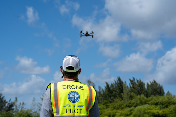
DID YOU KNOW: The District uses remote-controlled drones, georeferenced images, highly specialized spatial data and other GIS tools ...
Join our family of readers for as little as $10 per month and support local, unbiased journalism.
Already have an account? Log in to continue. Otherwise, follow the link below to join.
Please log in to continue |
The South Florida Water Management District uses advanced geospatial and geographic technology to protect and restore South Florida’s water resources and ecosystems.
DID YOU KNOW: The District uses remote-controlled drones, georeferenced images, highly specialized spatial data and other GIS tools to gather important information that helps guide water management decisions throughout the District’s 16-county region.
HIGHLIGHTING GIS DAY: In recognition of GIS Day on Wednesday, November 19, we are highlighting how the District uses advanced GIS technology to collect, analyze and map geographic data. These GIS tools help us carry out our public service mission.
EXPLORE GIS RESOURCES: The District makes it easy for the public to access its online database of GIS information. Browse the District’s mapping and spatial data library, including cartographic maps and spatial datasets. The District’s online GIS resources include:
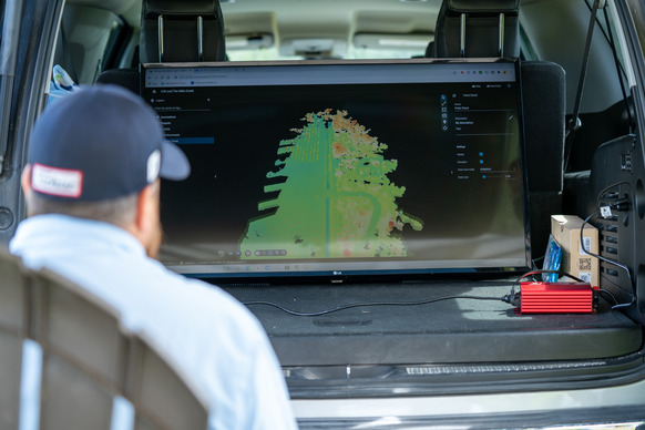
LEARN MORE: We encourage you to visit SFWMD.gov/GIS to learn more about how the District is using GIS tools and data to enhance operations and complete restoration initiatives to benefit the people and the environment of South Florida.


